General Discussion
Related: Editorials & Other Articles, Issue Forums, Alliance Forums, Region Forumsmarble falls
(68,734 posts)malaise
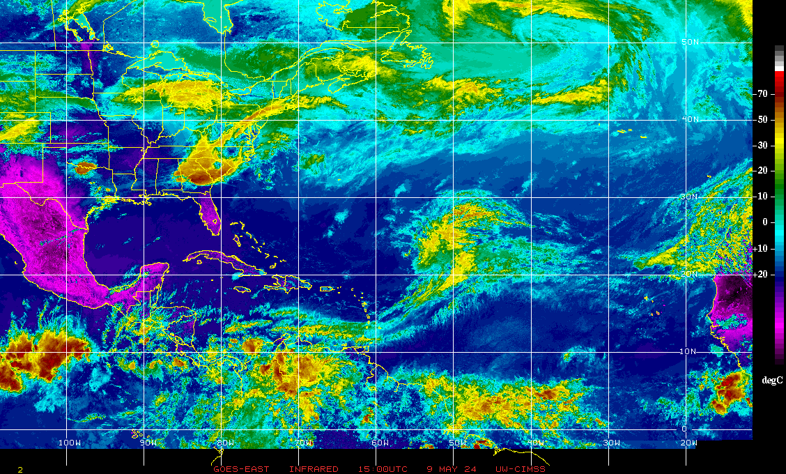
(289,501 posts)Keep an eye - it’s peak season
Cheezoholic
(3,315 posts)those are big grains of rock salt IF's. During this time of year you get cycles every couple of weeks where a bunch of waves roll off of Africa. Where in one of those cycles. Everything's way to far out to forecast. Something or nothing could come out of the last 2 or 3. Just keep ears perked as Malaise posted. It only takes 1 ![]()
ClaudetteCC
(114 posts)marble falls
(68,734 posts)chicoescuela
(2,354 posts)how uniform daylight across the globe on this day is fascinating to me.
Be careful
malaise
(289,501 posts)chicoescuela
(2,354 posts)is almost exactly 12 hours. The planet is not tilted to the sun.
Science classes were a half century ago but I think this explains it.
3Hotdogs
(14,592 posts)Wounded Bear
(63,050 posts)Just Jerome
(354 posts)it’s not all those solar panels draining the sun’s energy?
![]()
tonekat
(2,365 posts)That's what I heard about the equal amount of daylight this morning.
marble falls
(68,734 posts)malaise
(289,501 posts)Rec
Lovie777
(20,476 posts)east coast states are fairly good on alerts, not so much for our present administration.
IbogaProject
(5,043 posts)It isn't on a stormtrack to hit America, it is forecast to turn away.
malaise
(289,501 posts)to 94L
As of 8:00 AM EDT Tue Sep 23 2025...
East of the Leeward Islands (AL94):
A tropical wave is producing a large area of disorganized showers
and thunderstorms, and gusty winds across much of the Windward and
Leeward Islands. This wave is expected to move west-northwestward
at 15 to 20 mph, spreading heavy rainfall and gusty winds into
Puerto Rico and the Virgin Islands tonight and Wednesday. The
system is then expected to slow down and turn northwestward when it
reaches the southwestern Atlantic near the Bahamas late this week,
and a tropical depression could form when the disturbance is in that
region. Interests in the Virgin Islands, Puerto Rico, the Turks and
Caicos Islands, and the Bahamas should monitor the progress of this
system.
* Formation chance through 48 hours...low...20 percent.
* Formation chance through 7 days...medium...60 percent.
https://www.nhc.noaa.gov/gtwo.php?basin=atlc&basin=atlc&fdays=7
Scrivener7
(57,301 posts)surfered
(9,428 posts)Response to malaise (Original post)
Dr. T This message was self-deleted by its author.
republianmushroom
(21,479 posts)malaise
(289,501 posts)
Another fish storm
Lucky indeed - now Cat4
https://www.nhc.noaa.gov/storm_graphics/AT07/refresh/AL072025_5day_cone_no_line_and_wind+png/222033_5day_cone_no_line_and_wind.png
Add
